Amazing nature of the Buila National Park
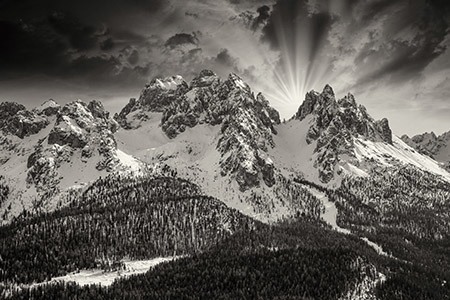
If you like highs you might not be interested by Vanturarita – Buila Mountains because their maximum altitude do not go higher than 1885 m on Vanturarita Peak.
But this would be a hasty conclusion. Throughout their ridge of 14 km, these mountains are full of challenges.
Their alpine potential is very interesting and original and includes walls of 250 – 300 m, superb valleys, sharp ridges and narrow paths.
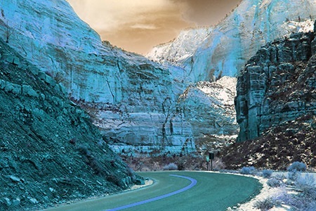
This limestone bastion lies from North-East to South West. The wood goes up to the ridge limit and the karsts increase the wild beauty of the places.
The name of the massif comes from its two highest peaks: Vanturarita (1885 m) and Buila (1849 m.)
The access points: Olanesti; Cheia village; Barbatesti village and Costesti village, where we can get by our car or by the local car transportation from Ramnicu – Valcea.
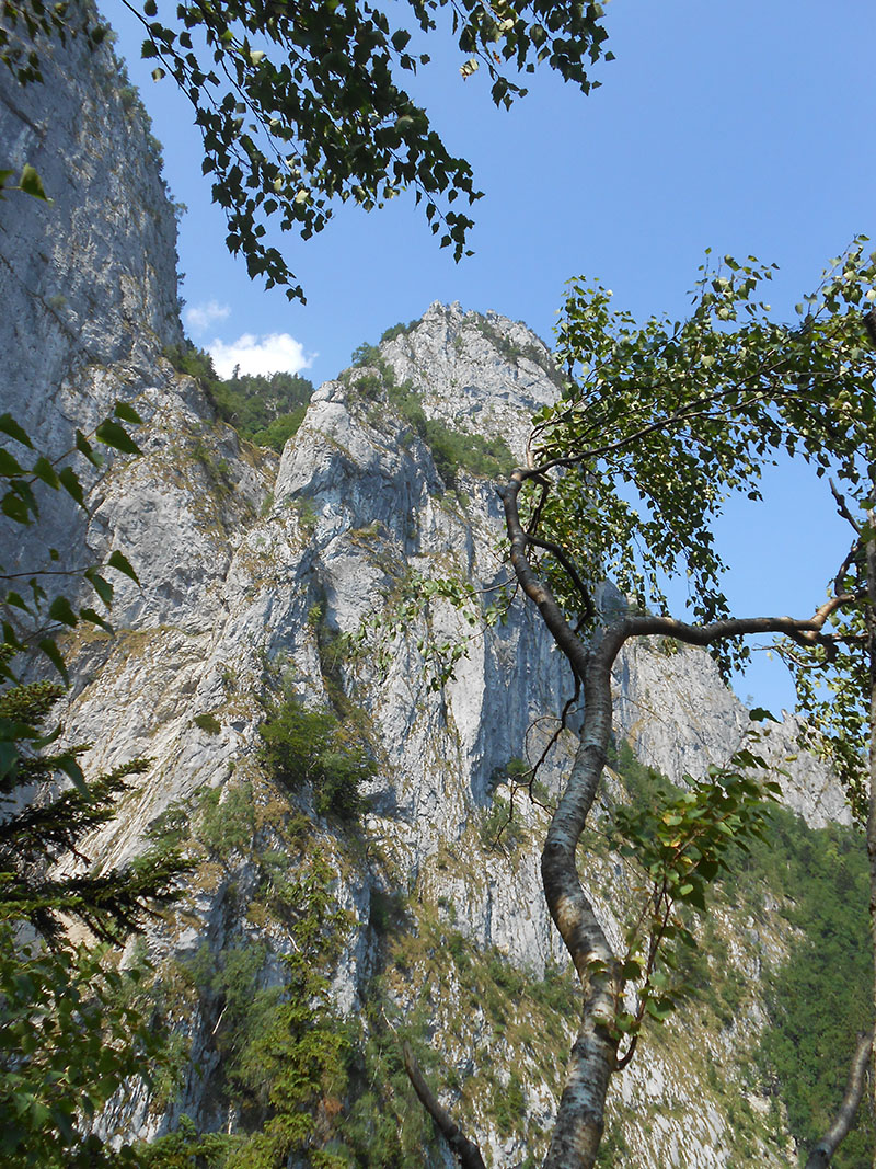
This is Buila Vanturarita National Park
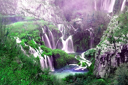
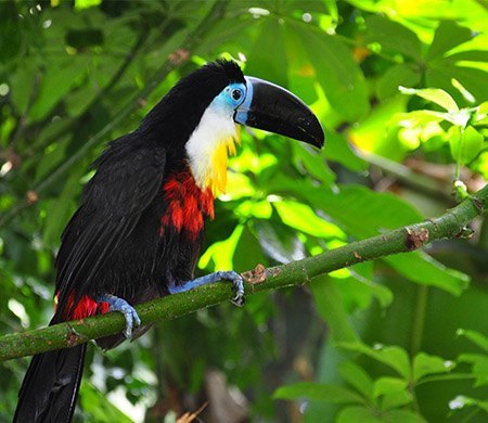
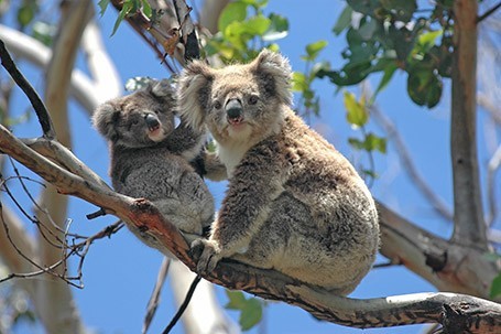
Because of difficult access, in the area was preserved unchanged by man influence a valuable and original ecosystem: many natural habitats, virgin forests, many protected species of flora and fauna, mineralogical and paleontological sites and caves.
The National Park Vanturarita – Buila having over 4000 ha was constituted in 2004 to protect these natural treasures.
Chalets: Cheia is the only chalet in the park.
Refuges: the Refuge of Saua Buila; Piscul cu Brazi; La Troita and Poiana Scarisoara.
There are eight camping places: Valea Bistriţei(Bistrita Valley) – North of Cheile Bistriţei (Bistrita Gorges); Prislop – next to the forest canton, North of Cheile Costeşti; Poiana Scărişoara (Scarisoara Glade); Poiana Pătrunsa (Patrunsa Glade) – 200 m West of hermitage; Pahomie – 100 m West of hermitage; Valea Cheia (Cheia Valley)- South of the tunnel; Cheia Chalet – next to the chalet; Valea Olăneşti (Olanesti Valley) – South of Cheile Olăneşti.
You can also find accommodation in the access localities.
Ideal – Escapes presents you two very nice and spectacular routes in these mountains that could be your choices for an escape here.
Route 1: Schitul (Hermitage) Pahomie – Stana (Sheepfold) Oale – Curmatura (Saddle) Oale- Varful (Peak) Vioreanu – Varful(Peak) Buila – Saua (Saddle) Buila – Schitul (Hermitage) Pahomie
Time: 11 hours.
Effort: the altitude difference on the route is over 1100m and the way passes over many peaks of the highest section of massif ridge and for these reasons the effort is of high level.
Difficulty: is medium level. Even if the marking in the ridge area was remade, the access in the ridge area still has sections with poor marking. The area situated under Vioreanu Peak is difficult and dangerous if the weather is bad and with lot of humidity.
At Pahomie we can arrive from Cheia village on forest road by foot or by car.
Our route starts 150 m before the hermitage, first, for a short time on a forest road to the right and then, on the path going on the level curve. The way leads us in an accentuated up to Stana Oale and further to Curmatura Oale. On this stage we enjoy the excellent view of Cozia and Fagaras Mountains, Olt Valley and of the villages on the valleys of the foothills.
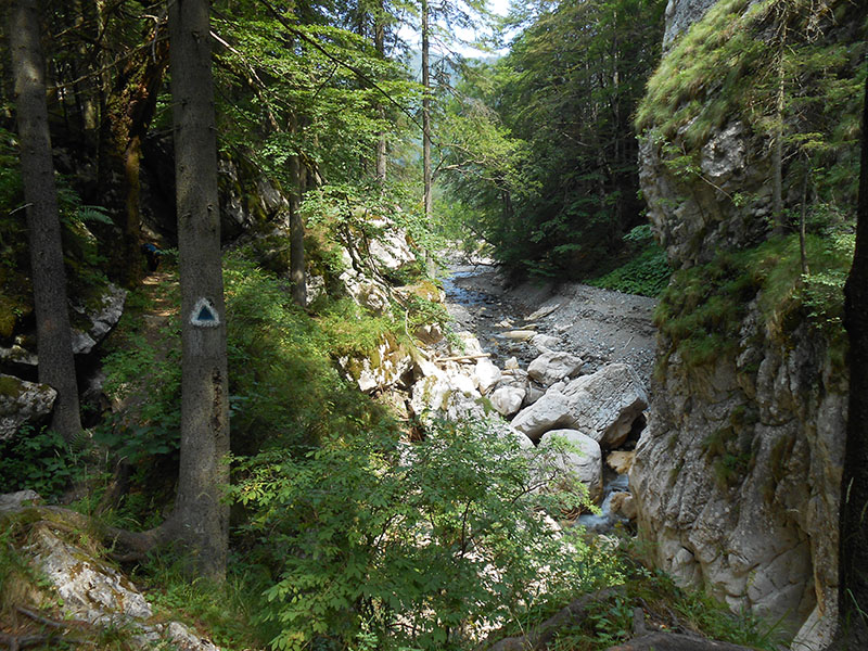
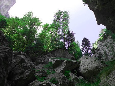
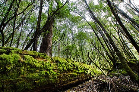
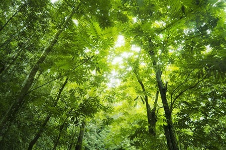
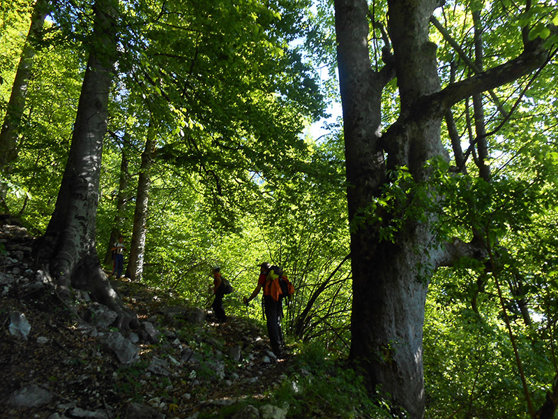
Deep forest on our journey in Buila
We must follow permanently the marking because there are areas where we can lose it.
When we arrive in Curmatura Oale we take a short rest and then follow the ridge path to the left. It leads us by wood, junipers, alpine zone for 3 and 1/2 hours up to Vanturarita top.
Once we have got to alpine area we can admire faraway Capatanii and Parang Mountains.
Before we get to Vioreanu we have to cross an exposed area asking attention and concentration.
Because of their wildness, not many people travel in these mountains and even if the path is very well maintained, there are places where is difficult to go forward especially in the junipers groups.
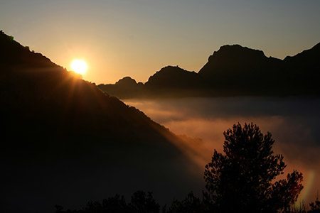
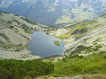
We rest for a while on Vanturarita Peak to admire the wonderful landscape: the Vioreanu Peak and the ridge up to Curmatura Oale, left behind us; Buila Peak in front, velvet woods and endless valleys on our feet. In the distance in a horizon tour we can see Cozia, Fagaras, Capatanii and Parang Mountains.
If we travel in late spring or summer we can see a lot of mountain flowers in bloom.
After we relaxed our feet and enjoyed our eyes we start to go down to Muchia Frumoasa (The Beauty Edge), Stana (Sheepfold) Stevioara and finally to Schitul Pahomie our starting point, 11 hours ago.
Even if we are very tired we cannot leave without a short visit to admire the little wonderful church hidden under the huge overhanging rock or the waterfall of Izvorul Frumos .
Route 2: Cheia village – the forest road to Chalet Cheia up to the Codric Canton – Brana Caprelor (Chamoix narrow path) – Cheia River Waterfalls – Cheia Chalet – forest road – Cheia village
Time: 10 – 11 hours if we walk on the forest road or 5 hours if we travel by car on the forest road from Cheia village to Cantonul Codric and back.
Effort: medium level, but have in view the long way on the forest road if you walk.
Difficulty: medium level. The section Brana Caprelor has exposed zones especially where the vegetation is missing.
We start from Cheia village on the forest road going to Cheia Chalet up to the marking pole next to Codric Canton (approximately 13 km). The canton is a little hidden by trees but you have to read the indications on the pole to know when you have to leave the forest road and entry on the paths to the left.
Here, we are on the route itself and go forward on the path through the wood, cross the forest exploitation up to the base of the rocks where begins Brana Caprelor.
We follow the wire of the narrow path, here and there hanging on the limestone walls and very exposed in the areas with poor vegetation. Arrived in a little saddle, we continue our walk to the left and within 30 – 40 minutes we finished this stage and go down through scree and slabs up to the place where Cheia waters disappear in the deeps of the mountain. After the last section of gorges we get to a larger area at Cheia Chalet. After a short pause we continue our trip on the picturesque forest road for other 9 km and arrive to Codric Canton and further to the valley up to Cheia village.
Our short presentation maybe doesn’t impress you much, but only because the words are too poor to express the beauty of this spectacular route.
Brana Caprelor is a narrow path used usually by the chamois. When we walk on it we are permanently few hundred of meters over the dizzy depths of the Cheia Gorges.
Two belvedere points, a little lateral from our way allows us to enlarge our horizon during our travel. From the first one we can see the Cozia and Narat Mountains and the second one offer a perspective of the entire gorge section.
Our advices:
- Even if the altitude is under 2000m , the alpine area has all the features of a high ridge. It is recommended to be well equipped for your trip.
- Check the weather forecast and choose an interval with very stabile good weather. The massif is very wild and once got on the ridge there are not many points to get down.
- Take enough water provisions with you. On the ridge there are not springs.
- Take care at vipers especially on the ridge in summer sunny days.
- Our presentation has only general purposes and do not include all the necessary details for the travel. A thorough study of the dedicate literature is necessary if you decide to travel in the area.
Other things to see or to do in the area:
- Visit of the monasteries and hermitage of Valcea County. They have a very nice architecture and are placed in wonderful landscapes.
- Baile Olanesti
- Over 100 of caves and avens some of them prepared for visitors. 10 of them are declared “protected areas”.
- Escalade of dangerous walls, the most appreciated being the one of Cheia Gorges at Claia Stramba.
- The Trovants Museum of Costesti. The geologists called them: “some sand and gravel balls” and the locals “the growing stones”. In fact they are the results of a geological phenomena started a lot of hundred years ago that continues nowadays, too. In this open air museum these strange stones can be admired like in a sculpture exhibition.
Explore Buila on Google Maps
More Ideal Escapes
